Mapping project wins national award
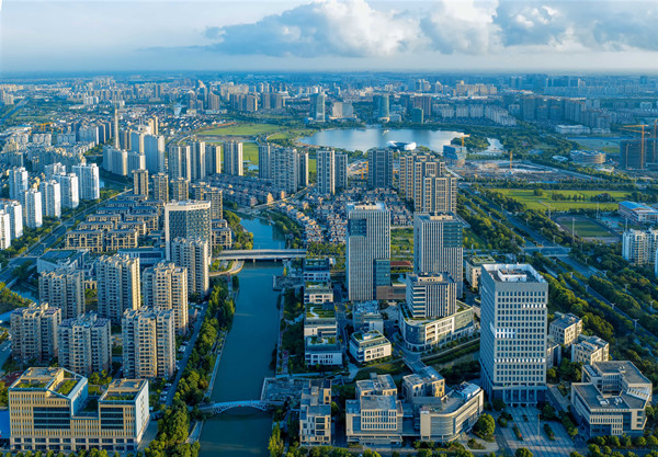
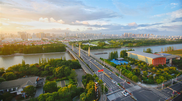
A geographic mapping project, aimed at surveying Taicang in intricate detail, has won a silver award from the China Association for Geographic Information Systems.
Digital Taicang, funded by the city government, began in November 2013 and received final approval on Dec 1, 2016 from the Jiangsu Provincial Bureau of Surveying Mapping and Geoinformation.
The project uses orthoimage, a type of aerial photography designed to map terrain to intricate levels of detail, measuring changes in the landscape as small as 10 centimeters.
The information gathered from the project has been combined with related mapping projects to create a database of geographic information on Taicang.
As a result, a geographic information website, "Map World • Taicang", has been established, giving prospective companies detailed information of the areas in Taicang they wish to develop in.
A collection of 12 associated mobile apps have also been developed, focusing on different areas such as mapping services, land transfers, and public security emergency command information.
Shi Jianshi, director of Jiangsu Provincial Bureau of Surveying Mapping and Geoinformation, said that Digital Taicang has provided strong support to the city's development, management and government decision-making.
He added that it also serves public institutions and enterprises, helps local residents' daily lives and improves the reliability of mapping and surveying geographic information.
Shi affirmed that the project will be helpful in promoting Taicang's economic development as well as laying a solid foundation to the construction of Smart Taicang.